
File:Cambodia Ratanakiri locator map.svg

Size of this PNG preview of this SVG file: 664 × 600 pixels. Other resolutions: 266 × 240 pixels | 531 × 480 pixels | 850 × 768 pixels | 1,133 × 1,024 pixels | 2,267 × 2,048 pixels | 1,347 × 1,217 pixels.
Original file (SVG file, nominally 1,347 × 1,217 pixels, file size: 751 KB)
| This is a file from the Wikimedia Commons. Information from its description page there is shown below. Commons is a freely licensed media file repository. You can help. |
| Description |
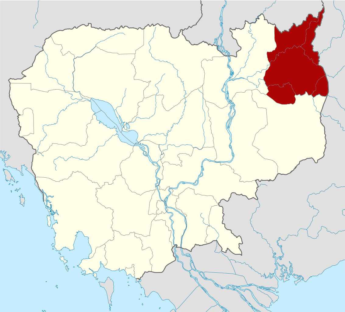
Deutsch: Positionskarte von Kambodscha Quadratische Plattkarte, N-S-Streckung 105 %. Geographische Begrenzung der Karte: * N: 14.8° N * S: 9.9° N * W: 102.2° O * O: 107.9° O Equirectangular projection, N/S stretching 105 %. Geographic limits of the map: * N: 14.8° N * S: 9.9° N * W: 102.2° E * E: 107.9° E |
| Date | (UTC) |
| Source | Own work based on: Cambodia location map.svg by NordNordWest |
| Author | Kmusser |
| SVG development | This W3C-invalid locator map was created with Adobe Illustrator, and with Inkscape. |
| This is a retouched picture, which means that it has been digitally altered from its original version. Modifications: highlighted Ratanakiri Province. The original can be viewed here: Cambodia location map.svg:
|
I, the copyright holder of this work, hereby publish it under the following licenses:
This file is licensed under the Creative Commons Attribution-Share Alike 3.0 Unported license.
- You are free:
- to share – to copy, distribute and transmit the work
- to remix – to adapt the work
- Under the following conditions:
- attribution – You must give appropriate credit, provide a link to the license, and indicate if changes were made. You may do so in any reasonable manner, but not in any way that suggests the licensor endorses you or your use.
- share alike – If you remix, transform, or build upon the material, you must distribute your contributions under the same or compatible license as the original.

|
Permission is granted to copy, distribute and/or modify this document under the terms of the GNU Free Documentation License, Version 1.2 or any later version published by the Free Software Foundation; with no Invariant Sections, no Front-Cover Texts, and no Back-Cover Texts. A copy of the license is included in the section entitled GNU Free Documentation License. |
You may select the license of your choice.
Original upload log
This image is a derivative work of the following images:
- File:Cambodia_location_map.svg licensed with Cc-by-sa-3.0, GFDL
- 2009-02-12T21:35:03Z NordNordWest 1347x1217 (728478 Bytes) smaller file
- 2009-02-12T20:56:36Z NordNordWest 1347x1216 (1074945 Bytes) {{Information |Description= {{de|Positionskarte von [[:de:Kambodscha|Kambodscha]]}} Quadratische Plattkarte, N-S-Streckung 105 %. Geographische Begrenzung der Karte: * N: 14.8° N * S: 9.9° N * W: 102.2° O * O: 107.9° O {{
File history
Click on a date/time to view the file as it appeared at that time.
| Date/Time | Thumbnail | Dimensions | User | Comment | |
|---|---|---|---|---|---|
| current | 15:26, 8 June 2010 | | 1,347 × 1,217 (751 KB) | Kmusser | {{Information |Description={{de|Positionskarte von Kambodscha}} Quadratische Plattkarte, N-S-Streckung 105 %. Geographische Begrenzung der Karte: * N: 14.8° N * S: 9.9° N * W: 102.2° O * O: 107.9° O {{en|Location map of [[:en:Cambod |
File usage
The following page uses this file:
Global file usage
The following other wikis use this file:
- Usage on bg.wikipedia.org
- Usage on ceb.wikipedia.org
- Usage on en.wikipedia.org
- Ratanakiri province
- Banlung
- Lake Yeak Laom
- Ka Choung
- Template:Ratanakiri province
- Andoung Meas District
- Banlung Municipality
- Bar Kaev District
- Koun Mom District
- Lumphat District
- Ou Chum District
- Ou Ya Dav District
- Ta Veaeng District
- Veun Sai District
- Kak (commune)
- Keh Chong Commune
- La Minh Commune
- Lung Khung
- Hat Pak
- Ka Choun
- Kaoh Pang
- Kaoh Peak
- Kok Lak
- Pa Kalan
- Ban Pong (commune)
- Phnum Kok
- Veun Sai (commune)
- Bar Kham
- Lum Choar
- Pak Nhai
- Sesan Commune
- Saom Thum
- Ya Tung
- Pate, Cambodia
- Cha Ung
- Pouy (commune)
- Aekakpheap
- Kalai, Cambodia
- Ou Chum (commune)
- Sameakki
- L'ak
- Yeak Laom
- Wikipedia:Graphics Lab/Map workshop/Archive/Feb 2010
- Category:Geography of Ratanakiri province
- Project Copper
- Ratanakiri (National Assembly constituency)
- Usage on fa.wikipedia.org
- Usage on fi.wikipedia.org
View more global usage of this file.