
File:Map of Alaska highlighting Bethel Census Area.svg

Size of this PNG preview of this SVG file: 800 × 423 pixels. Other resolutions: 320 × 169 pixels | 640 × 338 pixels | 1,024 × 541 pixels | 1,280 × 677 pixels | 2,560 × 1,353 pixels | 1,470 × 777 pixels.
Original file (SVG file, nominally 1,470 × 777 pixels, file size: 644 KB)
| This is a file from the Wikimedia Commons. Information from its description page there is shown below. Commons is a freely licensed media file repository. You can help. |
Summary
| Description |
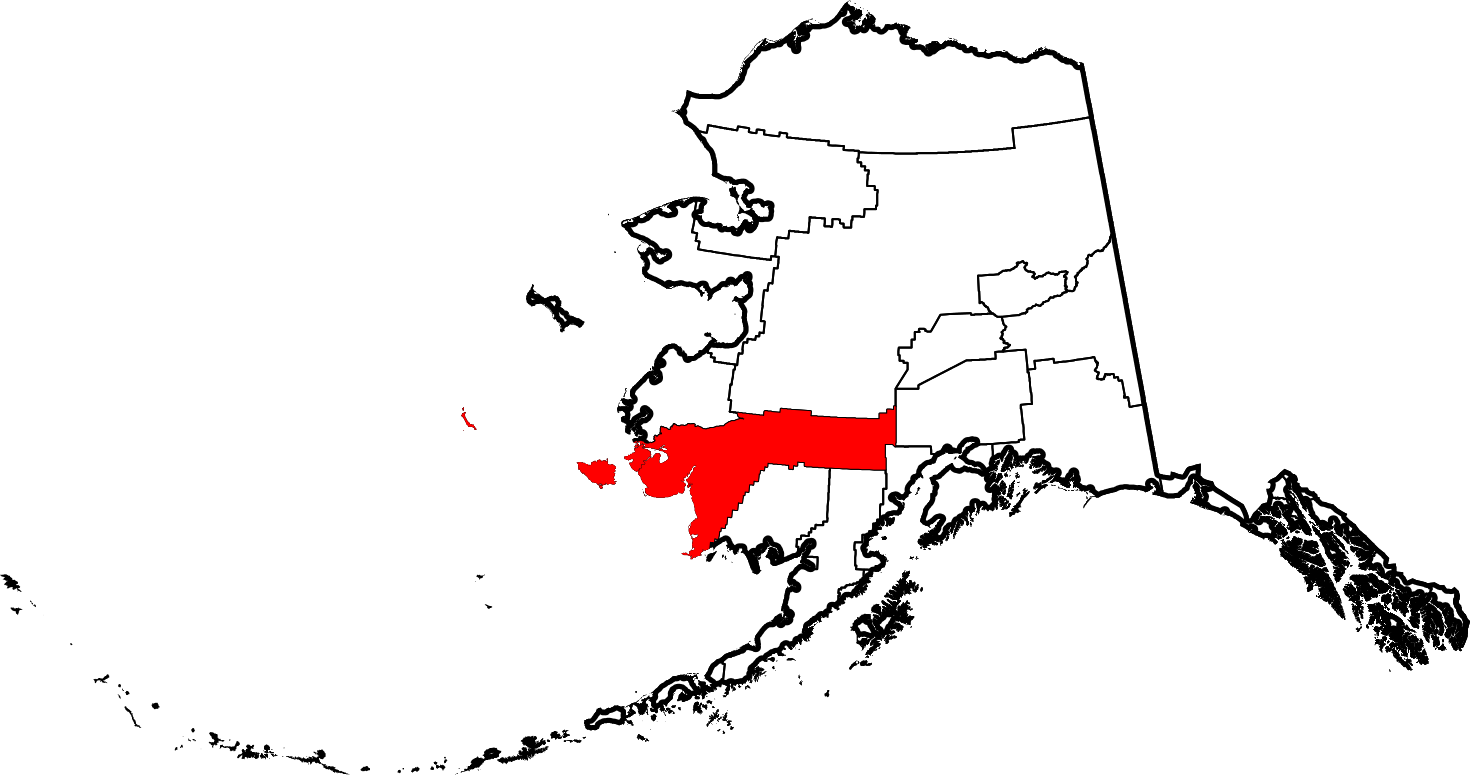
English: This is a locator map showing Bethel Census Area in Alaska |
| Date | |
| Source |
Own work: English: The maps use data from nationalatlas.gov, specifically countyp020.tar.gz on the Raw Data Download page. The maps also use state outline data from statesp020.tar.gz. The Florida maps use hydrogm020.tar.gz to display Lake Okeechobee. |
| Author | David Benbennick |
| SVG development |
Licensing
| I, the copyright holder of this work, release this work into the public domain. This applies worldwide. In some countries this may not be legally possible; if so: I grant anyone the right to use this work for any purpose, without any conditions, unless such conditions are required by law. |
File history
Click on a date/time to view the file as it appeared at that time.
| Date/Time | Thumbnail | Dimensions | User | Comment | |
|---|---|---|---|---|---|
| current | 20:12, 25 June 2024 | | 1,470 × 777 (644 KB) | Nux | uniform colors with good contrast |
| 22:59, 17 June 2024 |  | 1,470 × 777 (338 KB) | Nux | fix rendering (remove clipping) | |
| 19:26, 5 March 2006 |  | 1,470 × 777 (338 KB) | David Benbennick | {{subst:User:Dbenbenn/clm|county=Bethel Census Area|state=Alaska|type=borough and census area}} |
File usage
The following page uses this file:
Global file usage
The following other wikis use this file:
- Usage on bpy.wikipedia.org
- Usage on ca.wikipedia.org
- Bethel (Alaska)
- Akiak
- Quinhagak
- Nunapitchuk
- Akiachak
- Aniak
- Atmautluak
- Chefornak
- Chuathbaluk
- Crooked Creek
- Eek (Alaska)
- Goodnews Bay
- Kasigluk
- Kipnuk
- Kongiganak
- Kwethluk
- Kwigillingok
- Lime Village
- Lower Kalskag
- Napakiak
- Napaskiak
- Newtok
- Nightmute
- Oscarville
- Platinum (Alaska)
- Red Devil
- Sleetmute
- Stony River
- Toksook Bay
- Tuluksak
- Tuntutuliak
- Tununak
- Upper Kalskag
- Plantilla:Àrea censal de Bethel
- Categoria:Àrea censal de Bethel
- Llista de boroughs i àrees censals d'Alaska
- Usage on ce.wikipedia.org
- Usage on cy.wikipedia.org
- Usage on de.wikipedia.org
- Usage on en.wikipedia.org
View more global usage of this file.