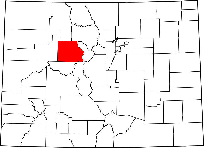
File:Map of Colorado highlighting Eagle County.svg
Appearance

Size of this PNG preview of this SVG file: 800 × 579 pixels. Other resolutions: 320 × 232 pixels | 640 × 463 pixels | 1,024 × 741 pixels | 1,280 × 927 pixels | 2,560 × 1,853 pixels | 1,558 × 1,128 pixels.
Original file (SVG file, nominally 1,558 × 1,128 pixels, file size: 64 KB)
File history
Click on a date/time to view the file as it appeared at that time.
| Date/Time | Thumbnail | Dimensions | User | Comment | |
|---|---|---|---|---|---|
| current | 21:06, 24 June 2024 |  | 1,558 × 1,128 (64 KB) | Nux | fix rendering (remove clipping) |
| 05:42, 13 February 2006 |  | 6,234 × 4,511 (67 KB) | David Benbennick | New version, smaller file size |
File usage
The following page uses this file:
Global file usage
The following other wikis use this file:
- Usage on ar.wikipedia.org
- Usage on be.wikipedia.org
- Usage on bg.wikipedia.org
- Usage on bpy.wikipedia.org
- Usage on cdo.wikipedia.org
- Usage on ceb.wikipedia.org
- Usage on cs.wikipedia.org
- Usage on cy.wikipedia.org
- Usage on de.wikipedia.org
- Usage on en.wikipedia.org
- List of counties in Colorado
- Eagle County, Colorado
- Avon, Colorado
- Basalt, Colorado
- Eagle, Colorado
- Eagle-Vail, Colorado
- Edwards, Colorado
- El Jebel, Colorado
- Gypsum, Colorado
- Minturn, Colorado
- Red Cliff, Colorado
- Vail, Colorado
- Burns, Colorado
- Gilman, Colorado
- Dotsero, Colorado
- Beaver Creek, Colorado
- Bond, Colorado
- McCoy, Colorado
- Wolcott, Colorado
- Template:Eagle County, Colorado
- List of Colorado municipalities by county
- User:Nyttend/County templates/CO
View more global usage of this file.
