
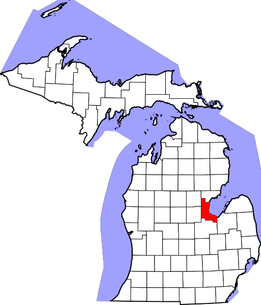
File:Map of Michigan highlighting Bay County.svg

Size of this PNG preview of this SVG file: 512 × 600 pixels. Other resolutions: 205 × 240 pixels | 410 × 480 pixels | 655 × 768 pixels | 874 × 1,024 pixels | 1,748 × 2,048 pixels | 962 × 1,127 pixels.
Original file (SVG file, nominally 962 × 1,127 pixels, file size: 138 KB)
| This is a file from the Wikimedia Commons. Information from its description page there is shown below. Commons is a freely licensed media file repository. You can help. |
David Benbennick made this map. For more information, see Commons:United States county locator maps.
| I, the copyright holder of this work, release this work into the public domain. This applies worldwide. In some countries this may not be legally possible; if so: I grant anyone the right to use this work for any purpose, without any conditions, unless such conditions are required by law. |
File history
Click on a date/time to view the file as it appeared at that time.
| Date/Time | Thumbnail | Dimensions | User | Comment | |
|---|---|---|---|---|---|
| current | 10:10, 25 June 2024 | | 962 × 1,127 (138 KB) | Nux | fix rendering (remove clipping) |
| 12:51, 12 February 2006 |  | 6,256 × 7,325 (205 KB) | David Benbennick | {{subst:User:Dbenbenn/clm|county=Bay County|state=Michigan|type=county}} |
File usage
The following 8 pages use this file:
Global file usage
The following other wikis use this file:
- Usage on ar.wikipedia.org
- مقاطعة باي (ميشيغان)
- أوبورن (ميشيغان)
- باي سيتي (ميشيغان)
- إسكسفيل
- ميدلاند
- بينكونينغ
- بلدة بانغور (مقاطعة باي)
- بلدة بيفر (مقاطعة باي)
- بلدة فرانكينلوست (ميشيغان)
- بلدة فريزر (ميشيغان)
- بلدة غارفيلد (مقاطعة باي)
- بلدة جيبسون (ميشيغان)
- بلدة هامبتون (ميشيغان)
- بلدة كاوكاولين (ميشيغان)
- بلدة ميريت (ميشيغان)
- بلدة مونيتور (ميشيغان)
- بلدة ماونت فورست (ميشيغان)
- بلدة باينكونينغ (ميشيغان)
- بلدة بورتسموث (ميشيغان)
- بلدة وليامز (ميشيغان)
- قالب:مقاطعة باي (ميشيغان)
- Usage on bg.wikipedia.org
- Usage on bpy.wikipedia.org
- Usage on cdo.wikipedia.org
- Usage on ceb.wikipedia.org
- Usage on cs.wikipedia.org
- Usage on cy.wikipedia.org
- Usage on de.wikipedia.org
- Usage on en.wikipedia.org
- List of counties in Michigan
- Bay County, Michigan
- Auburn, Michigan
- Bangor Township, Bay County, Michigan
- Bay City, Michigan
- Beaver Township, Bay County, Michigan
- Essexville, Michigan
- Frankenlust Township, Michigan
- Fraser Township, Michigan
- Garfield Township, Bay County, Michigan
- Gibson Township, Michigan
- Hampton Township, Michigan
- Kawkawlin Township, Michigan
- Merritt Township, Michigan
- Monitor Township, Michigan
- Mount Forest Township, Michigan
View more global usage of this file.