
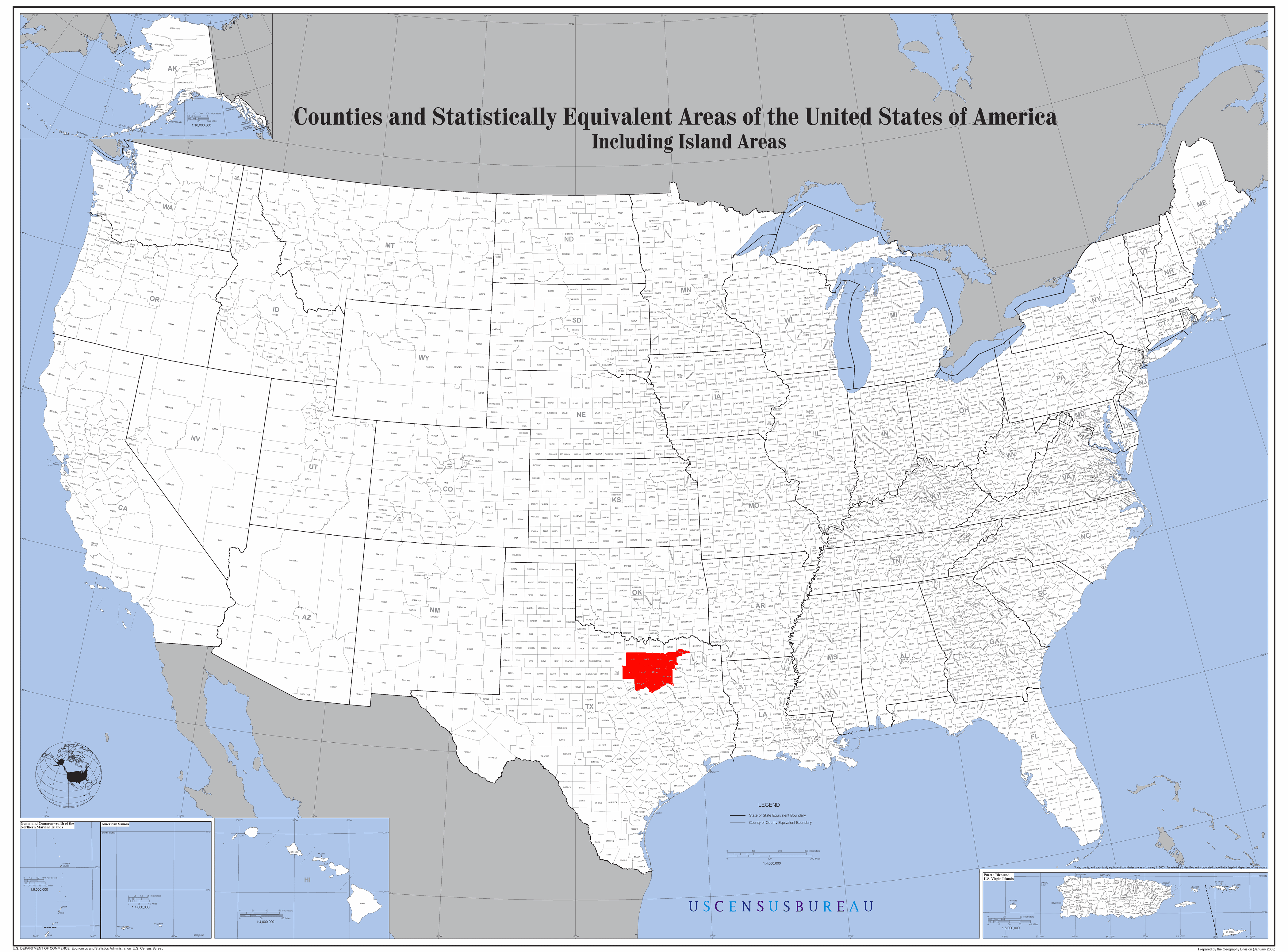
File:Map of the USA highlighting the Dallas-Fort Worth Metroplex.gif
Size of this preview: 800 × 591 pixels. Other resolutions: 320 × 237 pixels | 640 × 473 pixels | 1,024 × 757 pixels | 1,280 × 946 pixels | 2,560 × 1,893 pixels | 4,200 × 3,105 pixels.
Original file (4,200 × 3,105 pixels, file size: 1.64 MB, MIME type: image/gif)
| This is a file from the Wikimedia Commons. Information from its description page there is shown below. Commons is a freely licensed media file repository. You can help. |
Summary
| Description | Edited Image:U.S. Counties.gif in w:Paint.NET. |
| Date | 18 February 2007 (original upload date) |
| Source | No machine-readable source provided. Own work assumed (based on copyright claims). |
| Author | No machine-readable author provided. Patricknoddy~commonswiki assumed (based on copyright claims). |
Licensing
| I, the copyright holder of this work, release this work into the public domain. This applies worldwide. In some countries this may not be legally possible; if so: I grant anyone the right to use this work for any purpose, without any conditions, unless such conditions are required by law. |
File history
Click on a date/time to view the file as it appeared at that time.
| Date/Time | Thumbnail | Dimensions | User | Comment | |
|---|---|---|---|---|---|
| current | 14:33, 18 February 2007 | | 4,200 × 3,105 (1.64 MB) | Patricknoddy~commonswiki | Edited Image:U.S. Counties.gif in w:Paint.NET. |
File usage
The following page uses this file:
Global file usage
The following other wikis use this file:
- Usage on fi.wikipedia.org
- Usage on he.wikipedia.org
- Usage on he.wikivoyage.org
- Usage on uk.wikipedia.org