
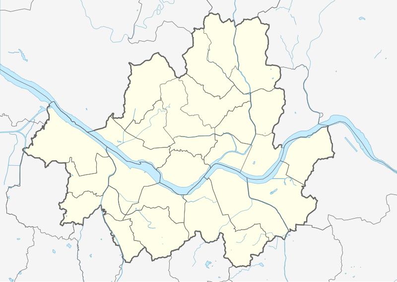
File:Seoul South Korea location map.svg

Size of this PNG preview of this SVG file: 800 × 569 pixels. Other resolutions: 320 × 228 pixels | 640 × 455 pixels | 1,024 × 728 pixels | 1,280 × 911 pixels | 2,560 × 1,821 pixels | 970 × 690 pixels.
Original file (SVG file, nominally 970 × 690 pixels, file size: 262 KB)
| This is a file from the Wikimedia Commons. Information from its description page there is shown below. Commons is a freely licensed media file repository. You can help. |
Summary
| Description |
|
||||||||||||
| Date | |||||||||||||
| Source |
Own work using: |
||||||||||||
| Author | Mikey641 and OpenStreetMap contributors | ||||||||||||
| SVG development | This map was created with Adobe Illustrator. |
||||||||||||
Licensing
This file is licensed under the Creative Commons Attribution-Share Alike 2.0 Generic license.
- You are free:
- to share – to copy, distribute and transmit the work
- to remix – to adapt the work
- Under the following conditions:
- attribution – You must give appropriate credit, provide a link to the license, and indicate if changes were made. You may do so in any reasonable manner, but not in any way that suggests the licensor endorses you or your use.
- share alike – If you remix, transform, or build upon the material, you must distribute your contributions under the same or compatible license as the original.
File history
Click on a date/time to view the file as it appeared at that time.
| Date/Time | Thumbnail | Dimensions | User | Comment | |
|---|---|---|---|---|---|
| current | 11:05, 27 February 2017 | | 970 × 690 (262 KB) | IRTC1015 | Correct error: Guri is not a part of Seoul |
| 21:51, 25 August 2016 |  | 970 × 690 (286 KB) | Mikey641 | Thicker border | |
| 19:22, 25 August 2016 |  | 970 × 690 (283 KB) | Mikey641 | Editing SVG source code using User:Rillke/SVGedit.js; upload handled by User:Rillke/MwJSBot.js | |
| 18:27, 25 August 2016 |  | 970 × 690 (285 KB) | Mikey641 | - | |
| 18:20, 25 August 2016 |  | 970 × 690 (287 KB) | Mikey641 | User created page with UploadWizard |
File usage
The following 3 pages use this file:
Global file usage
The following other wikis use this file:
- Usage on ar.wikipedia.org
- Usage on bcl.wikipedia.org
- Usage on bn.wikipedia.org
- Usage on ceb.wikipedia.org
- Usage on de.wikipedia.org
- Usage on en.wikipedia.org
- Seoul National University
- Gimpo International Airport
- Namhansan
- N Seoul Tower
- Dongmyo
- Changdeokgung
- Blue House
- Dongguk University
- Itaewon
- Namsan Mountain
- Cheonggyecheon
- SKY (universities)
- Battle of Haengju
- Hongdae (area)
- Ministry of Unification
- Yeouido
- Cheongnyangni 588
- Jongmyo (Seoul)
- Seorae Village
- Segok-dong
- Munjeong-dong
- Gangil-dong
- Gonghang-dong
- Ahyeon-dong
- Wonseo-dong
- Inwangsan
- Oksu-dong
- Gongdeok-dong
- Insu-dong
- Suraksan
- Samseongsan (Gyeonggi/Seoul)
- Buramsan
- Yongmabong
- Module:Location map/data/South Korea Seoul/doc
- Grand Hyatt Seoul
- Eungbongsan (Seoul)
- Gaeunsan
View more global usage of this file.