
File:Spain Balearic Islands location map.svg

Size of this PNG preview of this SVG file: 800 × 520 pixels. Other resolutions: 320 × 208 pixels | 640 × 416 pixels | 1,024 × 665 pixels | 1,280 × 832 pixels | 2,560 × 1,663 pixels | 1,539 × 1,000 pixels.
Original file (SVG file, nominally 1,539 × 1,000 pixels, file size: 78 KB)
| This is a file from the Wikimedia Commons. Information from its description page there is shown below. Commons is a freely licensed media file repository. You can help. |
| Description |
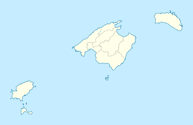
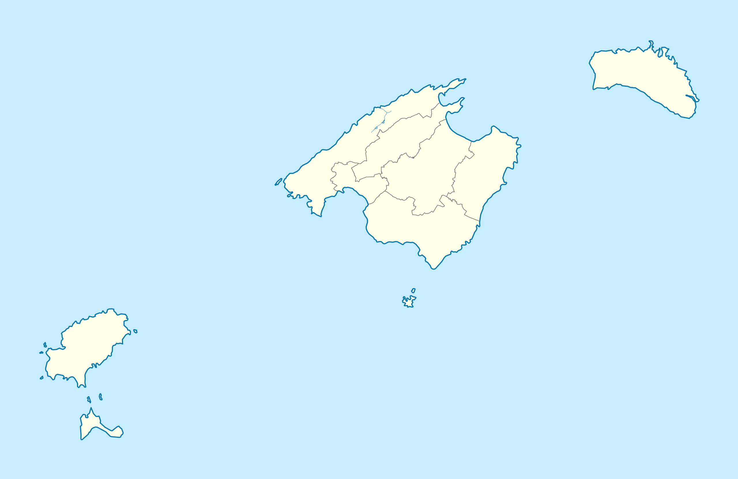
Deutsch: Positionskarte von Balearische Inseln
Quadratische Plattkarte, N-S-Streckung 130 %. Geographische Begrenzung der Karte:
English: Location map of Balearic Islands
Equirectangular projection, N/S stretching 130 %. Geographic limits of the map:
|
| Date | (UTC) |
| Source | |
| Author | |
| Other versions |
|

This file is licensed under the Creative Commons Attribution-Share Alike 3.0 Unported license.
- You are free:
- to share – to copy, distribute and transmit the work
- to remix – to adapt the work
- Under the following conditions:
- attribution – You must give appropriate credit, provide a link to the license, and indicate if changes were made. You may do so in any reasonable manner, but not in any way that suggests the licensor endorses you or your use.
- share alike – If you remix, transform, or build upon the material, you must distribute your contributions under the same or compatible license as the original.
Original upload log
This image is a derivative work of the following images:
- File:Spain_location_map.svg licensed with Cc-by-sa-3.0, GFDL
- 2008-07-07T14:23:21Z NordNordWest 1184x1016 (548734 Bytes)
- File:LocBaleares.svg licensed with Cc-by-sa-3.0,2.5,2.0,1.0, GFDL
- File:Localització_de_la_Serra_de_la_Tramuntana.png licensed with Cc-by-sa-3.0-migrated, GFDL
- 2005-08-15T00:43:04Z Unf 231x179 (8359 Bytes)
Uploaded with derivativeFX
File history
Click on a date/time to view the file as it appeared at that time.
| Date/Time | Thumbnail | Dimensions | User | Comment | |
|---|---|---|---|---|---|
| current | 21:18, 7 March 2010 | | 1,539 × 1,000 (78 KB) | Spischot | Fix: Transparency of region borders |
| 15:42, 7 March 2010 |  | 1,539 × 1,000 (79 KB) | Spischot | {{Information |Description= {{de|Positionskarte von de:Balearische Inseln}} Quadratische Plattkarte, N-S-Streckung 130 %. Geographische Begrenzung der Karte: * N: 40.25° N * S: 38.5° N * W: 1.0° O * O: 4.5° O {{en|Location map of [[:en:Ba |
File usage
The following page uses this file:
Global file usage
The following other wikis use this file:
- Usage on ar.wikipedia.org
- Usage on ast.wikipedia.org
- Usage on azb.wikipedia.org
- Usage on az.wikipedia.org
- Usage on bg.wikipedia.org
- Usage on ceb.wikipedia.org
- Usage on da.wikipedia.org
- San Antonio Abad
- Palma de Mallorca
- Alcudia
- Valldemosa
- Formentera
- Ciudadela (De Baleariske Øer)
- Santañí
- Santa Margarita
- Sóller
- Mahón
- Petra (De Baleariske Øer)
- Son Servera
- Escorca
- Porreras
- Manacor
- Consell
- Ibiza (by)
- San José (De Baleariske Øer)
- Santa Eulalia del Río
- San Juan Bautista
- Alayor
- Ferrerías
- Mercadal (De Baleariske Øer)
- San Cristóbal (De Baleariske Øer)
- San Luis (De Baleariske Øer)
- Villacarlos
- Pollensa
- La Puebla
- Las Salinas
- Calviá
- Andrach
- Campos (De Baleariske Øer)
- Capdepera
- Deyá
View more global usage of this file.