
File:Venezuela location map (+claimed).svg

Size of this PNG preview of this SVG file: 745 × 599 pixels. Other resolutions: 298 × 240 pixels | 597 × 480 pixels | 955 × 768 pixels | 1,273 × 1,024 pixels | 2,545 × 2,048 pixels | 1,838 × 1,479 pixels.
Original file (SVG file, nominally 1,838 × 1,479 pixels, file size: 914 KB)
| This is a file from the Wikimedia Commons. Information from its description page there is shown below. Commons is a freely licensed media file repository. You can help. |
Summary
| Description |
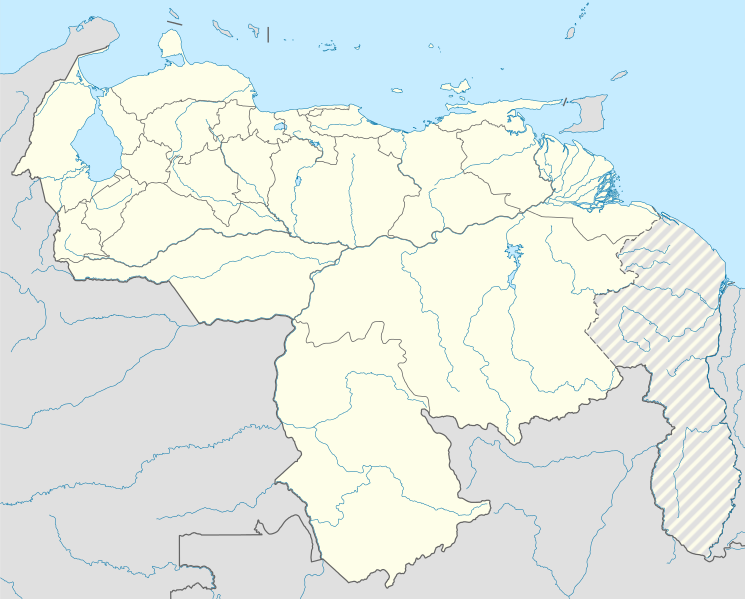
English: Location map of Venezuela Equirectangular projection, N/S stretching 101 %. Geographic limits of the map:
|
| Date | (UTC) |
| Source |
This file was derived from: |
| Author | |
| Other versions |
|
| SVG development |
.jpg)


.svg)
Licensing
This file is licensed under the Creative Commons Attribution-Share Alike 3.0 Unported license.
- You are free:
- to share – to copy, distribute and transmit the work
- to remix – to adapt the work
- Under the following conditions:
- attribution – You must give appropriate credit, provide a link to the license, and indicate if changes were made. You may do so in any reasonable manner, but not in any way that suggests the licensor endorses you or your use.
- share alike – If you remix, transform, or build upon the material, you must distribute your contributions under the same or compatible license as the original.
Original upload log
This image is a derivative work of the following images:
- File:Venezuela_location_map.svg licensed with Cc-by-sa-3.0
- File:Guyana_location_map.svg licensed with Cc-by-sa-3.0, GFDL
Uploaded with derivativeFX
File history
Click on a date/time to view the file as it appeared at that time.
| Date/Time | Thumbnail | Dimensions | User | Comment | |
|---|---|---|---|---|---|
| current | 01:17, 25 July 2013 | | 1,838 × 1,479 (914 KB) | Milenioscuro | == {{int:filedesc}} == {{Information |Description={{en|Location map of Venezuela}} Equirectangular projection, N/S stretching 101 %. Geographic limits of the map: * N: 12.8° N * S: 0.4° N * W: 73.6° W * E: --.-° W |Source={{Derive... |
File usage
The following 10 pages use this file:
Global file usage
The following other wikis use this file:
- Usage on af.wikipedia.org
- Usage on ar.wikipedia.org
- Usage on ast.wikipedia.org
- Caraques
- Mérida (Venezuela)
- Valdez
- Monumentu natural Llaguna de Les Marites
- Llaguna del Santu Cristu
- Santa Apolonia (Mérida)
- Pueblo Nuevo de la Sierra
- Península d'Araya
- Centro San Ignacio
- Urica
- Teleféricu de Mérida
- Llanos
- Ríu Orinoco
- Palaciu Federal Llexislativu
- Palaciu Llexislativu del Estáu Zulia
- Salto Ángel
- Maracaibo
- Módulu:Mapa de llocalización/datos/Venezuela
- Módulu:Mapa de llocalización/datos/Venezuela/usu
- Copa América 2007
- Aeropuertu Don Edmundo Barrios
- Aeropuertu Las Flecheras
- Aeropuertu Los Roques
- Borburata
- Ciudad Guayana
- Guanta
- Juan Griego
- La Guaira
- Carirubana
- Puerto Cabello
- Puerto Cumarebo
- Puerto La Cruz
- Puerto Píritu
- Puertu de La Guaira
- Puertu de Maracaibo
- Puertu de Puerto Cabello
- Academia Venezolana de la Llingua
- Tepui
- Usage on bg.wikipedia.org
- Usage on bh.wikipedia.org
- Usage on bn.wikipedia.org
- Usage on ca.wikipedia.org
View more global usage of this file.
.svg)
.svg)