
File:Flag of Missouri.svg

Size of this PNG preview of this SVG file: 800 × 467 pixels. Other resolutions: 320 × 187 pixels | 640 × 373 pixels | 1,024 × 597 pixels | 1,280 × 747 pixels | 2,560 × 1,493 pixels | 2,400 × 1,400 pixels.
Original file (SVG file, nominally 2,400 × 1,400 pixels, file size: 277 KB)
| This is a file from the Wikimedia Commons. Information from its description page there is shown below. Commons is a freely licensed media file repository. You can help. |
Summary
| Description |
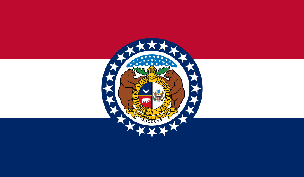
English: Flag of Missouri, adopted in 1913.
ᏣᎳᎩ: ᏨᎫᎵ ᎦᏓᏘ
Español: Bandera de Misuri
Français : Drapeau du Missouri
Français cadien : Flag du Missouri
Hawaiʻi: Ka hae Mikouli
Latina: Vexillum Missuriae
Diné bizaad: Mizoowii Hahoodzo bidah naatʼaʼí
Deitsch: Faahne vun Missouri
Русский: Флаг Миссури
|
||||
| Date | |||||
| Source | from the xrmap flag collection 2.7 | ||||
| Author | Marie Watkins Oliver | ||||
| Permission (Reusing this file) |
|

Licensing
This media file is in the public domain in the United States. This applies to U.S. works where the copyright has expired, often because its first publication occurred prior to January 1, 1929, and if not then due to lack of notice or renewal. See this page for further explanation.
|
 | |
 |
This image might not be in the public domain outside of the United States; this especially applies in the countries and areas that do not apply the rule of the shorter term for US works, such as Canada, Mainland China (not Hong Kong or Macao), Germany, Mexico, and Switzerland. The creator and year of publication are essential information and must be provided. See Wikipedia:Public domain and Wikipedia:Copyrights for more details.
|

|
This image shows a flag, a coat of arms, a seal or some other official insignia. The use of such symbols is restricted in many countries. These restrictions are independent of the copyright status. |
derivative works
Derivative works of this file: Flag of the Missouri State Guard.svg
File history
Click on a date/time to view the file as it appeared at that time.
| Date/Time | Thumbnail | Dimensions | User | Comment | |
|---|---|---|---|---|---|
| current | 13:08, 12 December 2023 | | 2,400 × 1,400 (277 KB) | Skunkcrew | Colors match more with flags near politicians of the state seen in File:Josh Hawley, official portrait, 116th congress.jpg |
| 17:18, 14 July 2022 |  | 2,400 × 1,400 (235 KB) | HapHaxion | reduce file size | |
| 14:05, 9 February 2022 |  | 2,400 × 1,400 (313 KB) | Enzwell | Corrected inner circle. minor cleanup | |
| 18:36, 22 December 2018 |  | 2,400 × 1,400 (278 KB) | Tcfc2349 | fixed | |
| 03:14, 18 February 2016 |  | 2,400 × 1,400 (277 KB) | Corkythehornetfan | colors https://dese.mo.gov/sites/default/files/logo-guidelines.pdf // Editing SVG source code using User:Rillke/SVGedit.js; upload handled by User:Rillke/MwJSBot.js | |
| 05:06, 25 September 2010 |  | 2,400 × 1,400 (277 KB) | Zscout370 | http://www.moga.mo.gov/statutes/c000-099/0100000020.htm | |
| 20:52, 1 July 2010 |  | 850 × 500 (369 KB) | Fry1989 | colours, also seal corrected to the State Seal file | |
| 05:16, 27 February 2006 |  | 850 × 500 (368 KB) | Denelson83 | Multiple improvements; rounded-off dimensions, larger stars, corrected colours | |
| 05:46, 22 January 2006 |  | 780 × 459 (372 KB) | Denelson83 | Flag of w:Missouri, from the xrmap flag collection 2.7. {{PD}} Category:US state flags Category:Missouri Category:SVG flags |
File usage
The following 60 pages use this file:
- 2020 United States presidential election in Missouri
- 2022 Monkeypox outbreak in the United States
- American Independent Party
- Andrew County, Missouri
- Buchanan County, Missouri
- Callaway County, Missouri
- Carter County, Missouri
- Cass County, Missouri
- Clay County, Missouri
- Clinton County, Missouri
- Columbia, Missouri
- Corn Belt
- Evan McMullin
- Harrison County, Missouri
- Henry County, Missouri
- Howard County, Missouri
- Howell County, Missouri
- ISO 3166-2:US
- Independence, Missouri
- Jackson County, Missouri
- Jasper County, Missouri
- Kansas City, Missouri
- Lafayette County, Missouri
- List of U.S. state and territory nicknames
- List of U.S. states
- List of U.S. states' largest cities
- List of U.S. states and territories by area
- List of U.S. states by GDP
- List of U.S. states by date of admission to the Union
- List of U.S. states by population
- List of U.S. states by population density
- List of current United States lieutenant governors
- List of demonyms for US states and territories
- List of territorial entities where English is an official language
- Miss Teen USA
- Miss USA
- Missouri
- Missouri Territory
- Oregon County, Missouri
- Platte County, Missouri
- Ray County, Missouri
- Reynolds County, Missouri
- Ripley County, Missouri
- Shannon County, Missouri
- Shawnee
- St. Louis
- Sterling Price
- Supreme Court of Missouri
- U.S. state
- Worth County, Missouri
- User:Deborahjay/List of territorial entities where English is an official language
- User:Deum ex machini
- User:JaMikePA~simplewiki
- User:Sfoske70
- User:Sfoske70/sandbox
- Template:Country data Confederate States of America
- Template:Country data Missouri
- Template:Country data United States
- Template:Country data United States/doc
- Template:Missouri cities and mayors of 100,000 population
Global file usage
The following other wikis use this file:
- Usage on af.wikipedia.org
- Usage on als.wikipedia.org
- Usage on ang.wikipedia.org
- Usage on an.wikipedia.org
- Usage on ar.wikipedia.org
View more global usage of this file.