Khyber Pass
Appearance
| Khyber Pass د خیبر درہ درۂ خیبر | |
|---|---|
 The pass connects Landi Kotal to the Valley of Peshawar. | |
| Elevation | 1,070 m (3,510 ft) |
| Traversed by | |
| Location | Between Landi Kotal and Jamrud |
| Range | Spīn Ghar (Safēd Kōh) |
| Coordinates | 34°04′33″N 71°12′14″E / 34.07570°N 71.20394°E |
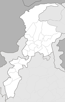
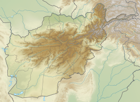
The Khyber Pass (also called the Khaiber Pass or Khaybar Pass) (Urdu: Ø¯Ø±Û Ø®ÛŒØ¨Ø±) is a pass between Pakistan and Afghanistan; National Border Pass (International). It is the National Pass of Pakistan, and connects the frontiers of Khyber Pakhtunkhwa, Pakistan, to Afghanistan.
Throughout history it has been an important trade route between Central Asia and South Asia, and a strategic military pass. The actual summit of the pass is 5 kilometers inside Pakistan at Landi Kotal. The pass cuts through the Safed Koh mountains which are a far southeastern extension of the Hindu Kush range.the height of the khyber pass is 1,070m and width is 140m.
The area around the Pass is inhabited by a number of Pashtun tribes, especially the Afridis.
Things to see around Khyber Pass[1]
[change | change source]- Michni Post at the Pak-Afghan border
- Landikotal FC Mess
- Torkham Car Market
- Haji Ayub Afridi Compound
- Ali Masjid Fort
- Sphola Stupa
- Shagai Fort
- Khyber Steam Safari
References
[change | change source]- ↑ WIK (2023-06-07). "Living the Legends of Khyber Pass, Pakistan". How 2 Have Fun. Retrieved 2023-06-14.


