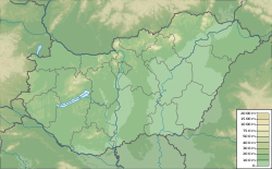
Pápa
Appearance
Pápa | |
|---|---|
 | |
| Coordinates: 47°19′25″N 17°28′05″E / 47.32373°N 17.46802°E | |
| Country | |
| County | Veszprém |
| District | Pápa |
| Area | |
| • Total | 91.47 km2 (35.32 sq mi) |
| Population (2011) | |
| • Total | 32,473 |
| • Density | 355/km2 (920/sq mi) |
| Time zone | UTC+1 (CET) |
| • Summer (DST) | UTC+2 (CEST) |
| Postal code | 8500 |
| Area code | (+36) 89 |
| Website | papa |
Pápa [ˈpaːpɒ] is a town in Veszprém county, Hungary. It is near the northern edge of the Bakony Hills. The town has a lot of baroque architecture. 32,473 people lived there in 2011. The town is the cultural, economic and tourism center of the region.


