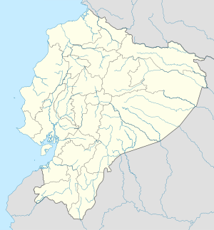
Riobamba
Appearance
Riobamba | |
|---|---|
City | |
| San Pedro de Riobamba | |
 | |
| Coordinates: 1°40′27.65″S 78°38′53.86″W / 1.6743472°S 78.6482944°W | |
| Country | |
| Province | |
| Canton | Riobamba Canton |
| Founded | August 15, 1534 |
| Relocation | 1799 |
| Founded by | Diego de Almagro |
| Parishes | Urban Parishes
|
| Government | |
| • Mayor | Napoleon Cadena |
| Area | |
| • City | 59.05 km2 (22.80 sq mi) |
| • Metro | 982.69 km2 (379.42 sq mi) |
| Elevation | 2,754 m (9,035 ft) |
| Population (2010 census) | |
| • City | 156,723 |
| • Density | 2,700/km2 (6,900/sq mi) |
| • Metro | 225,741 |
| Time zone | UTC-5 (ECT) |
| Website | www |
Riobamba (Spanish pronunciation: [rjoˈβamba], full name San Pedro de Riobamba; Quechua: Rispampa) is the capital of the Chimborazo Province in central Ecuador, which is located at the Chambo River Valley of the Andes.[1] It is 200 km (120 mi) south of Ecuador's capital Quito.
References
[change | change source]- ↑ "Riobamba, Ecuador – Travel Photos by Galen R Frysinger, Sheboygan, Wisconsin". www.galenfrysinger.com.


